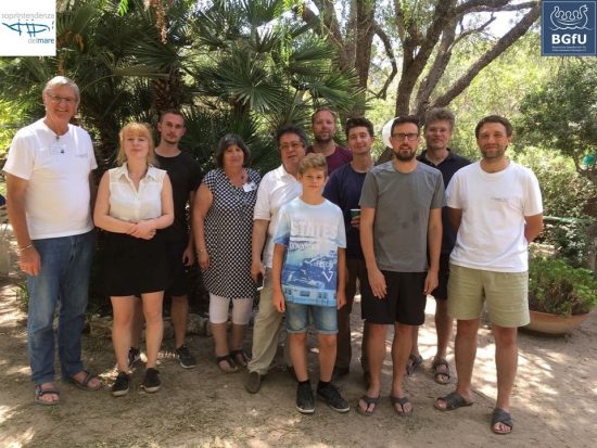
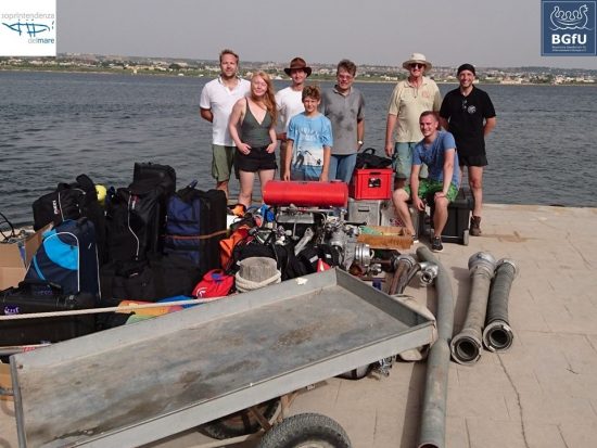
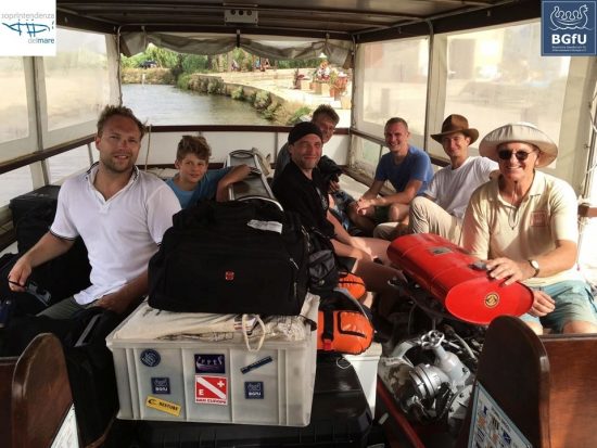
In July 2017, scientific divers of the Bavarian Society for Underwaterarchaeology (BGfU) and the Philipps University Marburg were invited by the Soprintendenza del Mare (Prof. Dr. S. Tusa, Dr. F. Oliveri) to take part in underwater archaeological surveys around the island of Mozia, at the center of the Stagnone Lagoon of Marsala, in the western part of Sicily (Italy).
The Sicilian-German cooperation was supported by members of the Guardia di Finanza from Palermo and Trapani. Last year, this well-tried cooperation led to the successful documentation of a late medieval / early modern ship wreck, possibly a so-called 'schifazzo', on the shore of the Isola Lunga, an island close by.
The island of Mozia itself was influenced by the Phoenicians from ancient Lebanon for several hundreds of years before being conquered by the Greeks under Dionysios of Syracuse in the year 397 BC. Luckily, the island has never been superstructed since then, which offers the unique possibility of studying archaeological remains from the Phoenician-Punic times.
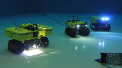
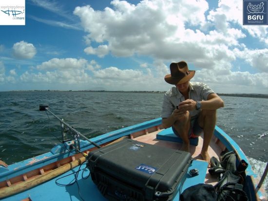
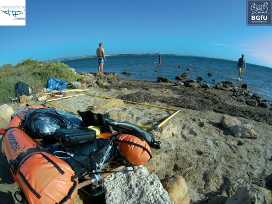
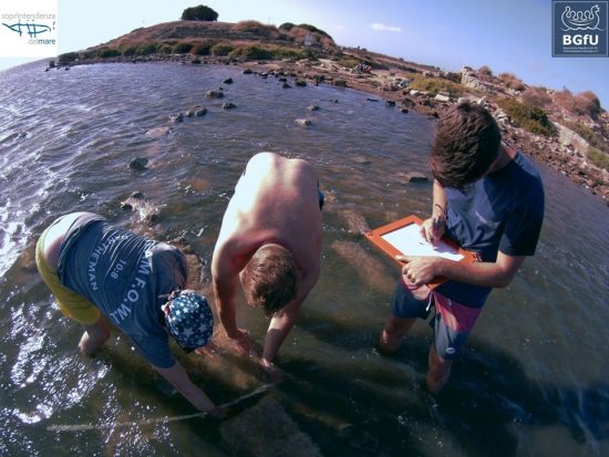
During recent years, the Soprintendenza del Mare has explored parts of a submerged Punic causeway leading from the north gate of the ancient city towards the mainland. In 397 BC, the Carthaginians destroyed parts of it in order to prevent the Greeks from approaching the city with their war machinery - an attempt made in vain. Members of the BGfU have now contributed to the examination of the submerged causeway by using sidescan sonar techniques. Furthermore, along the southern and eastern part of the island, bathymetry maps (height underwater profiles) were reconstructed to recognize ancient ship routes leading towards the island.
Unfortunately, due to heavy winds, the side scan of the ancient Punic causeway could not be finished. And even more dissapointing, the bathymetry profiles revealed no proof of an ancient ship channel (especially not in front of the southern gate and the Kothon nearby). But, the surprise came by night…
A late Roman pier?
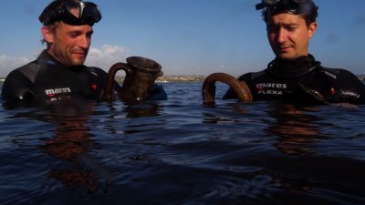
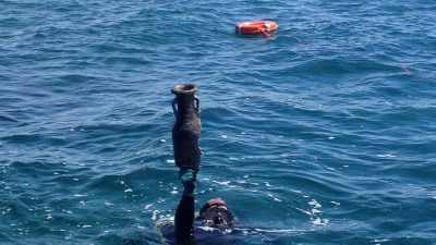
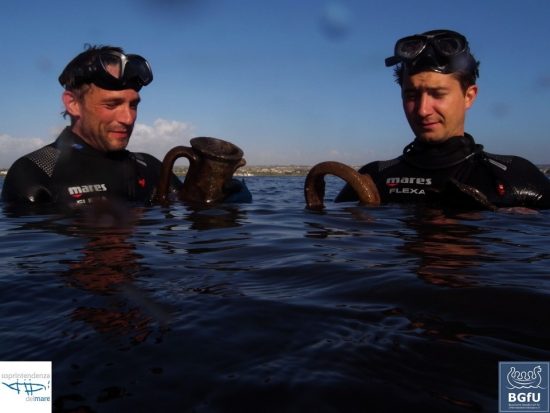
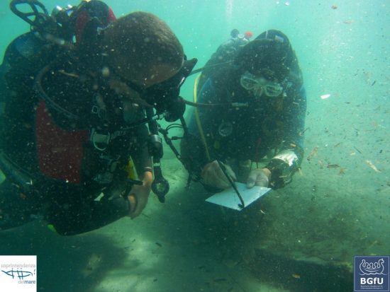
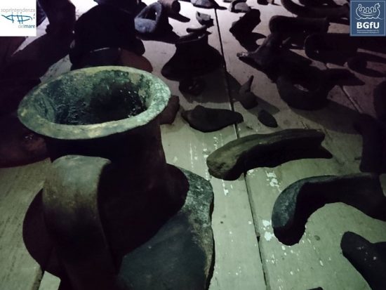
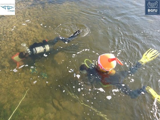
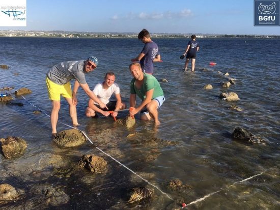
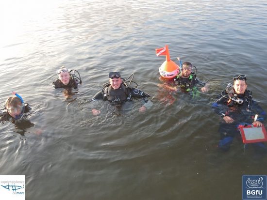
Some of the BGfU divers underwent a night dive in shallow waters in front of the island’s eastern shore close to the ancient Eastern Gate location and found several late Roman sherds. This was quite unexpected, as the late Roman period has not been regarded as an important settlement period on Mozia yet. During the next days, the underwater archaeological surveys on this 'new spot' revealed more than 25kg of ceramics and – with many other finds – three net weights as well as a fragment of a Roman lead anchor. Along with the discovery of around 40 wooden piles, one can assume a pier or at least a kind of an anchor point for ships during the late Roman period. Next year, a more detailed documentation as well as small-scale excavations are intended.
Sources:
http://www.regione.sicilia.it/beniculturali/archeologiasottomarina/
https://www.uni-marburg.de/fb06/archaeologie/alias.nautischearchaeologie/
 BGfU
BGfU 22nd August 2017
 Mozia, Marsala, Trapani, Italien